

AI-Powered Pole Validation
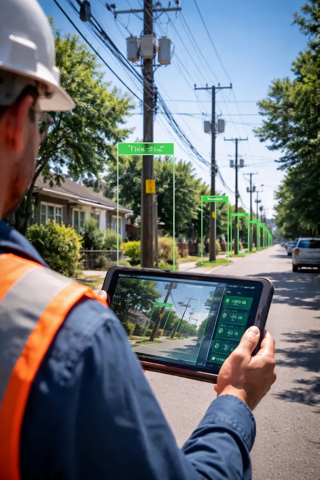
Inside the System
Project overview
AI-powered pole validation using GIS, imagery, OCR, and multi-system data reconciliation.
Result
Validation Set0.054 mAP@0.5 current detector performance
Published training snapshot · 100 epochs · 640px images
How was this measured?
- Evaluation
- Published training snapshot · 100 epochs · 640px images
- Scope
- Validation Set
- Method
- The documented YOLO26n run used batch size 16 and reports precision 0.608, recall 0.052, and mAP@0.5 0.054; the dataset size and split are not documented.
Business Problem
Manual pole validation is slow, fragmented, and dependent on multiple disconnected systems.
From: Project Attributes
Proposed Solution
Build an AI-assisted framework to detect poles, validate ownership, assess suitability, and support decision-making.
From: Project Attributes
Outcome
Documented in project articleThe current detector demonstrates the full validation flow but its low recall and class imbalance make it unsuitable for autonomous decisions; the post explicitly retains human review and prioritizes dataset expansion and relabeling.
Cost and Risk Reduction
Not quantifiedQuantified financial impact has not yet been documented.
Deployment Context
Human-assisted industrial prototype with demonstration videos; no public live application or production-autonomous deployment is claimed.
Project Video
Key Capabilities
- Computer Vision
- Document Intelligence
Evidence and Project Links
Related Projects
Engineering review
Technical Summary
AI-powered pole validation using GIS, imagery, OCR, and multi-system data reconciliation.
System Architecture
Field image and GIS/portal records → YOLO pole detection and OCR → ownership, location, structural, and workflow evidence reconciliation → confidence engine → Auto-Approve, Manual Review, or Reject/Rework recommendation → human validation.
Algorithms and Models
Dataset / Data Basis
- Data / Evaluation Basis
- Pole field imagery and YOLO labels combined with GIS coordinates, internal portal evidence, Frontier and AEP records, OCR, and workflow history for ownership and suitability validation.
Evaluation
The documented training setup is 100 epochs, batch size 16, image size 640. The published performance snapshot reports precision 0.608, recall 0.052, and mAP@0.5 0.054.
Reproducibility Links
Original project record
Complete Technical Article
Original diagrams, implementation notes, code, tables, equations, metrics and documented limitations are preserved below.
Building an AI system that doesn’t just detect poles — but validates and decides.
View the GitHub Repository
Open the public repository on GitHub.
Vision
Modern infrastructure validation is slow, manual, and error-prone.
This project introduces an AI-powered validation framework that:
- Detects poles
- Verifies ownership
- Assesses structure
- Provides decision-ready outputs
Project Attributes
| Attribute | Description |
|---|---|
problem-statement | Manual pole validation is slow, fragmented, and dependent on multiple disconnected systems. |
primary-objective | Build an AI-assisted framework to detect poles, validate ownership, assess suitability, and support decision-making. |
core-technologies | YOLO, Computer Vision, GIS, OCR, and multi-source data reconciliation. |
validation-sources | Internal portal data, field imagery, GIS coordinates, Frontier database, AEP records, and workflow history. |
key-capabilities | Pole detection, ownership verification, structural assessment, ambiguity detection, and confidence-based decision support. |
decision-engine | Produces outcomes such as Auto-Approve, Manual Review, or Reject / Rework based on fused evidence. |
business-impact | Reduces manual effort, improves validation consistency, and speeds up infrastructure approval workflows. |
current-limitations | Small dataset, class imbalance, and low recall in the current detection setup. |
future-improvements | Expand dataset, improve labeling quality, reduce class complexity, and strengthen active learning. |
human-in-the-loop | Final decisions should remain reviewer-supported until the model reaches stronger validation reliability. |
Post Files
src/content/posts/└── pole-detection/ ├── cover.png └── index.mdx
GitHub Repo: dranubhaparashar/Pole-Detection/├── dataset/├── runs/│ └── detect/├── 001_png.rf.72b75e71c8e9e08119e23830becb46ea.jpg├── 001_png.rf.72b75e71c8e9e08119e23830becb46ea.txt├── 1.ipynb├── 1.py├── README.md├── app.py├── data.yaml└── yolo26n.ptWhy This Matters
NOTEManual validation involves 13+ checks across multiple systems.
IMPORTANTWrong validation → cost impact + safety risks + delays
TIPAI enables confidence-based automated decisions
WARNINGLow recall indicates dataset limitation and class imbalance
CAUTIONDecisions should not be fully automated until model recall and validation coverage improve.
What This System Does
Core Capabilities
- Pole detection (YOLO26n)
- Ownership verification (AEP / Frontier DB)
- Structural assessment (visual + metadata)
- Space feasibility analysis
- Multi-source reconciliation
- Confidence-based decision engine
Bento Overview
| Capability | Description |
|---|---|
| Pole Identity | Is this the correct pole? |
| Ownership | Frontier or not? |
| Ambiguity | Nearby pole confusion |
| Structure | Safe for attachment? |
| Decision | Approve / Review / Reject |
YOLO26n Detection Engine
Model Details
- Layers: 260
- Parameters: 2.5M
- Classes: 36
- Framework: Ultralytics YOLO
Training Setup
- Epochs: 100
- Batch: 16
- Image Size: 640
Inference
from ultralytics import YOLO
model = YOLO("best.pt")
results = model("pole.jpg")
for r in results: print(r.boxes)Confidence Engine
def confidence_score(pole, ownership, geo, structure): return ( pole * 0.3 + ownership * 0.2 + geo * 0.3 + structure * 0.2 )Decision Logic
def decision(score): if score > 0.85: return "Auto-Approve" elif score > 0.55: return "Manual Review" else: return "Reject"Example Threshold Update
AUTO_APPROVE_THRESHOLD = 0.90MANUAL_REVIEW_THRESHOLD = 0.60AUTO_APPROVE_THRESHOLD = 0.85MANUAL_REVIEW_THRESHOLD = 0.55REJECT_THRESHOLD = 0.00Runtime Example
python train.py --model yolo26n.pt --data data.yaml --epochs 100 --batch 16 --imgsz 640python infer.py --weights best.pt --source pole.jpgpython evaluate.py --predictions outputs/results.jsonPerformance Snapshot
| Metric | Value |
|---|---|
| Precision | 0.608 |
| Recall | 0.052 |
| mAP@0.5 | 0.054 |
WARNINGLow recall indicates dataset limitation and class imbalance
CAUTIONThis system should remain human-assisted until model recall and evidence consistency improve.
Current Challenges
- Small dataset
- Class imbalance
- Low recall
Next Improvements
- Increase dataset size
- Improve labeling
- Reduce class complexity
- Apply active learning
Demo Videos
Detection Demo
Validation Demo
Key Innovation
IMPORTANTThis is not just object detection —
it is Decision Intelligence for Infrastructure
Conclusion
This project transforms:
Manual Validation → AI-Assisted Decision System
- Combines vision + data + reasoning.
- Provides explainable decisions.
- Enables faster approvals.
Final Thought
From detecting poles → to understanding and deciding infrastructure
The final recommendation is
AI-assisted, not fully autonomous .
Related Technical Projects
End-to-End YOLO Key Detection System
DACR-Q: A Training-Free Framework for Memory-Efficient LLM Inference
Comments